- Explore Norfolk
- Coastal And Inland Walks
- Short Coastal Walks
Short Coastal Walks On The Norfolk Norfolk Coast
Each of these 4 short coastal walks entails a ramble along some of the most beautiful coastline in Norfolk. They are all on the North Norfolk coast as each of these short walks also involve catching the Coasthopper bus which is extremely easy to do.
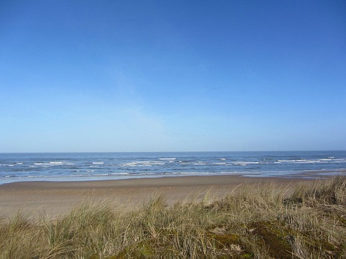
Hopefully these 4 short coastal walks will inspire you, or give you some ideas for some walks you might not have thought about before.
I’m going to take you on a journey all the way along the Norfolk Coast with these linear walks which are all along the Norfolk Coast Path trail. This is the easy option for discovering and exploring our wonderful coastline.
Often you don’t want to spend a whole day walking and more often than not you leave your car somewhere and then wonder how you’re going to get back to it – so in consequence you don’t bother to walk. Well here's your answer!
These walks are also great for getting out and exploring Norfolk with your children. When you want something to do and the weather isn’t perhaps as nice as you would like, why not go on a little adventure with them. Catch the bus, walk and then have something to eat at the end. Or maybe just offer them an ice cream. Anything to get them outside and using energy and if it entails a little bribe, well so be it!
These short coastal walks all end in places which have ample eateries such as pubs, fish and chips or tea rooms.
They are also mostly flat terrain walks!
The Coasthopper bus
This excellent bus runs all the way from Hunstanton to Cromer and stops at every village along the way (unless no one wants to get off or get on!). It gives you freedom to explore this incredibly beautiful coastline for a very small charge.
From 2018 it consists of two different bus services.
- The first is from Hunstanton to Wells-next-the Sea and is the Lynx bus, Coastliner 36
- The second is from Wells-next-the-Sea to Cromer and is still called the Coasthopper bus is managed by Sanders Coaches Ltd. The one you want for the Norfolk Coast Path is called CH1 or CH4
And as the Norfolk Coast Path runs alongside or very close to these villages, it’s the perfect answer to taking a short walk without wondering how you’re going to get back. Either drive to one location and then catch the bus back or vice versa, or, if you don’t have a car, catch the bus to the start of the walk and then catch it back to your destination.
Short Coastal Walk 1
Hunstanton to Thornham
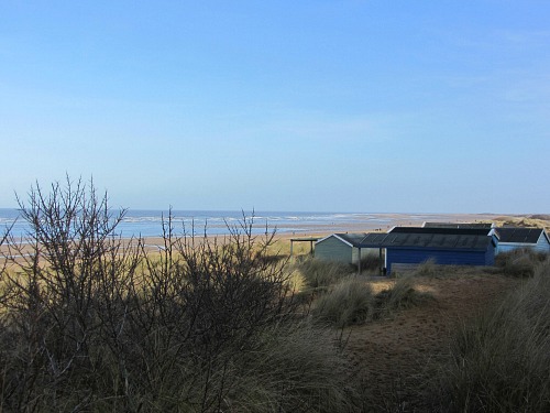
With this walk you can see the three tiered cliffs at Hunstanton (if the tide is out), walk past the area where Seahenge was discovered and walk through Norfolk Wildlife Trust Holme Dunes Nature Reserve and on past the wonderful sight of the Old Coal Shed at Thornham.
Time: 2 ½ hrs
Length: 5.5 miles
Ease of walk: easy
Parking: Either park in Hunstanton or Thornham. If you park in Thornham, catch the coasthopper (just outside the Thornham Deli) and get off at Hunstanton. If you start in Hunstanton you’ll be catching the coasthopper at the end of your walk. There are lots of places to park in Hunstanton.
Food and drink: The Lifeboat Inn, Thornham Deli, The Orange Tree pub or The Chequers pub, all in Thornham
OS Explorer Map: 250
This short coastal walk starts in Hunstanton and will take you along the cliff tops overlooking the sea (or if the tide is out you can walk along the beach and marvel at the three-tiered cliff face. If you walk along the cliff tops, you’ll pass the ruins of St Edmunds Chapel and see the resplendent white lighthouse overlooking the sea (now accommodation). Depending on which option you take (cliffs or beach), you’ll either walk along the grassy cliff top to the car park of Old Hunstanton (a WC is here if needed!), or you’ll walk along the beach until you reach Old Hunstanton beach.
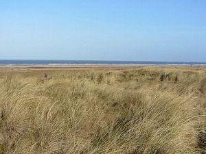
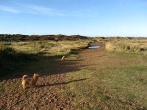
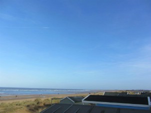
The Norfolk Coast Path hugs the back of the dunes here, and it’s always quite nice to walk along this stretch as you have the golf course on the right and the beach huts and sea on your left (see the photo above).
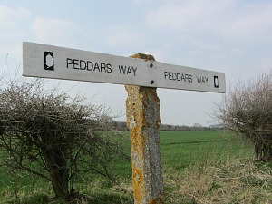
Soon you’ll arrive at Holme Dunes Nature Reserve and the board walk. This is actually where the Peddars Way meets the Norfolk Coast Path.
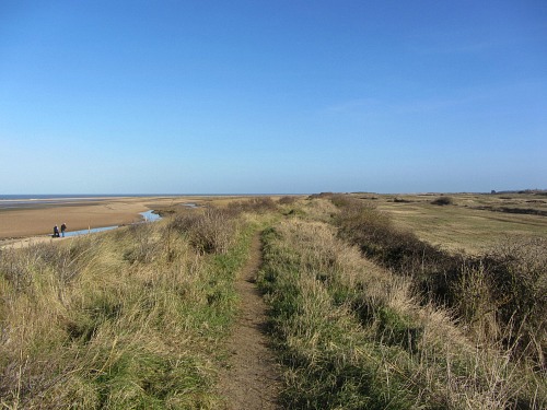
Holme beach, which you’ll walk parallel to, is where Seahenge was discovered back in 1998. You’ll also come across an old WWII pill box amongst the dunes, and if you’re walking with dogs, this is a nature reserve so they do need to be controlled. Eventually these dunes give way to a pine forest and then swathes of marsh and meadow.
It’s a wonderfully diverse flat walk.
You know you’re arriving near Thornham when you see the iconic Coal Shed.
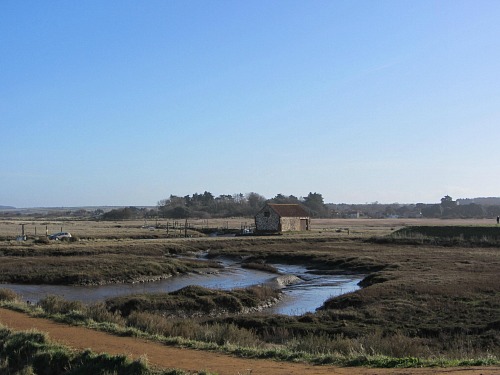
At this point, you head inland and reach the main coastal road (all the time following the Norfolk Coast Path signs). Thornham Deli is on the other side of the road and well worth stopping at for a bite to eat or even to just pick up a sausage roll or sandwich. If you feel like a slightly longer walk through Thornham, you’ll reach The Orange Tree or The Chequers pubs. The Lifeboat is just as you come off the Norfolk Coast Path.
If you parked at Hunstanton, you’ll need to catch the coasthopper bus back to Hunstanton. The bus stop is just outside the Thornham Deli.
Short Coastal Walk 2
Brancaster Staithe to Burnham Overy Staithe
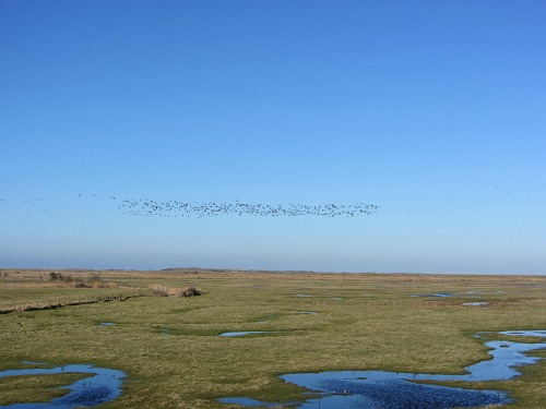
This should be a fantastic walk for wildlife.
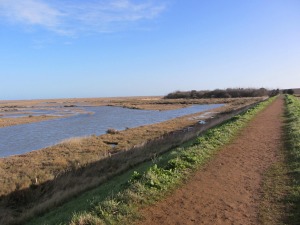
It’s mostly creeks, salt marshes and meadows. Due to the nature of the salt marshes, none of this short coastal walk is by the sea. And bear in mind that as you’ll be walking along the sea wall, it can be quite windy.
Time: 1 ¾ hrs
Length: 4.5 miles
Ease of walk: easy
Parking: you can park in Brancaster Staithe by the harbour (the road almost opposite the Jolly Sailors Pub) or at Burnham Overy Staithe by the harbour, but you do need to be very careful about tide times for both of these harbours as they can flood at high tide. You can of course park slightly away from the harbour too.
Food and drink: The Jolly Sailors at Brancaster Staithe, The Hero at Burnham Overy Staithe
OS Explorer Map: 250 and 251
This short coastal walk starts at Brancaster Staithe at the Harbour. Any children with you will love the huge red buoy that sits at the entrance to the car park.
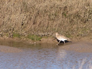
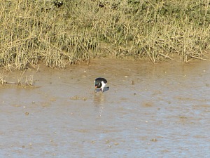
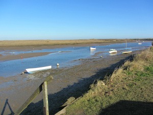
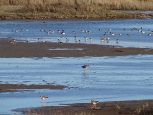
The beauty of the creeks and salt marshes is amazing. If the tide is out you’ll catch sight of lots of wading birds such as curlew, egrets, red shank, oyster catchers to name but a few.
And if you’re lucky you’ll catch the fishermen grading mussels using their special machine. You’ll see where this is as there are two little purpose built pools just below the path. Then you’ll be taken along the sea wall with salt marshes one side and water meadows the other. It is amazing (well I think so!)
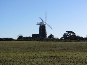
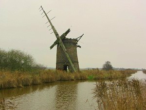
Burnham Overy windmill appears in the distance. Head for the windmill and follow the Norfolk Coast Path signs until you reach the main road in Burnham Overy. To get to the harbour, you take the first left and follow the road around.
To get to The Hero pub, continue along the main road and you’ll see it just on your right.
The coasthopper bus to get you back to Brancaster Staithe is just before The Hero. If you park in Burnham Overy Staithe, you need to get off the coasthopper bus at The Jolly Sailors and cross the road to join the Norfolk Coast Path.
Short Coastal Walk 3
Wells to Stiffkey
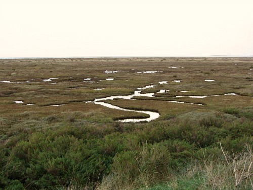
I have already written up in detail about this walk and you can read about it here.
Time: 1 hr
Length: 3 miles
Ease of Walk: easy walking.
What you’ll see: mud flats, salt marshes, Wells working fishing harbour and Wells town, fishing boats and sailing boats, creeks and bird watching
Food and drink: Fish and chips on the quayside, The Golden Fleece pub, tea shops in Staithe St, The Wells Deli opposite the harbour, The Crown and The Globe pubs in The Buttlands
Parking: At the end of Green Way in Stiffkey (the bus stop is a little further along the road going east) and there are lots of car parks in Wells.
OS Explorer Map: 251
Short Coastal Walk 4
Weybourne to Sheringham
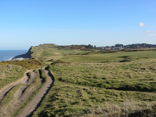
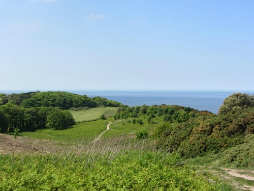
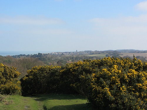
This walk is a change from the low-level beach and salt marsh walks as this take you onto the cliff tops all the way to Sheringham. Who said Norfolk was flat! It has some wonderful views over the wooded countryside around Sheringham Park and the beaches below.
Time: 1 ¼ hrs
Distance: 3 miles
Ease of walk: moderate with inclines towards Sheringham
Food and drink: The Ship Inn at Weybourne, The Lobster Inn at Sheringham as well as other cafes, pubs and tea rooms.
Parking: Either in Weybourne at the end of Beach Road or there are various car parks in Sheringham, one right by the promenade, one by the railway station and one on the top of the cliff face overlooking the promenade (Cliff Road). The coasthopper bus in Weybourne is on the main coastal road very close to The Ship Inn. In Sheringham it is by the railway station or on the main coastal road opposite Tesco.
OS Explorer Map: 252
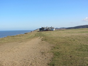
This short coastal walk starts in Weybourne and immediately takes you onto the cliffs. It’s a lovely cliff walk all the way to Sheringham and is a complete contrast to the salt marshes and beaches further to the west. It’s very easy to follow as you are literally just walking along the edge of the cliff.
Depending on what time of year you walk along here, and at what time of day, you may have the pleasure of seeing the steam trains from the North Norfolk Railway chugging along.
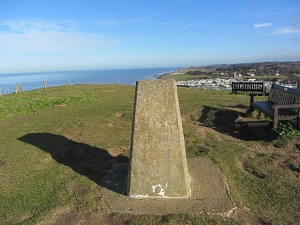
As you begin to get closer to Sheringham you’ll be taken alongside Sheringham Golf Course and this is where the path begins to climb a little. You’ll know when you’ve reached the top as you’ll arrive at the Lookout Station. You may want to take a moment to admire the amazing views across this beautiful coastline (and catch your breath). There is a bench which is quite a welcome relief!!
After that, you just follow your nose down towards Sheringham.
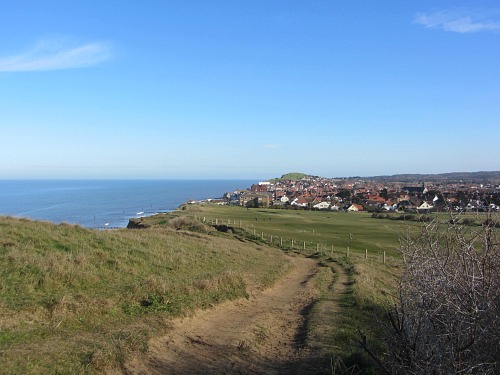
You’ll eventually appear at the boating pond and shelter. Walk down this tarmac road and head towards the sea and the promenade. You can continue along the promenade until you see The Two Lifeboats pub. This road takes you into the middle of Sheringham, and the Lobster Inn is just along this road on the left.
These are 4 of my favourite short coastal walks, I really hope you enjoy them too.
You can also find out more about our Norfolk Walking Holidays where we will organise your whole walk from start to finish. We have a growing number of walks that may be of interest to you. You can read more about what Norfolk Walking Holidays can offer you here.


