- Explore Norfolk
- Coastal And Inland Walks
- Salthouse Circular Walk
Salthouse Circular Walk
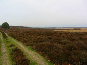
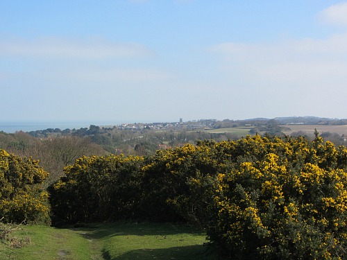
This Salthouse circular walk is a wonderfully refreshing 5.5 mile wander from the flintstone village of Salthouse up onto the heathland and gorse around Bard Hill where you’ll find the remains of a WWII radar station, and then dropping back down over fields to then walk alongside the beautiful Norfolk Wildlife Trust’s Cley Marshes Nature Reserve and beach, finishing back at the Dun Cow pub in Salthouse.
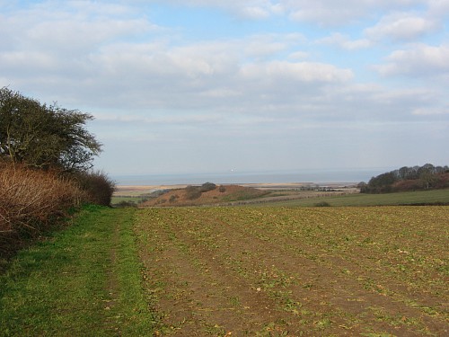
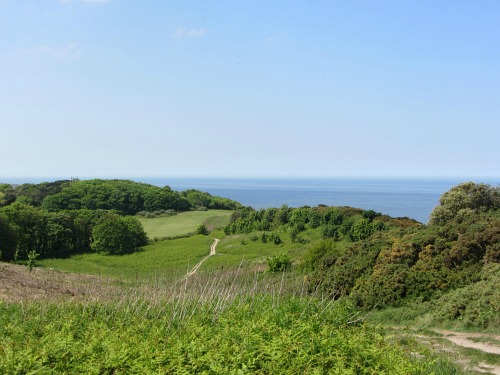
As you begin the descent (no it’s not that high!) down towards Cley, the views across the landscape are amazing. You'll just feel on top of the world. You'll lose all sense of any day to day thoughts and just engage with nature on this Salthouse circular walk.
Salthouse Circular Walk
Length of walk: Approx 5.5 miles
Ease of walk: Moderate – incline up to the top of the heathland and shingle along Cley beach
What you’ll see: Wonderful views over the countryside to the coast, remains of a WWII Radar Station, goats with long horns, heathland and gorse, Cley Nature reserve and wildlife, shingle beach, WWII pill box
OS Map: Explorer 251
PDF map: Download the Salthouse Circular Walk here
You can see the video of the walk here
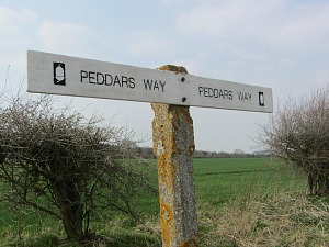
This walk is signposted by Norfolk Trails/Norfolk County Council.
Accommodation Suggestions close to this Salthouse Circular Walk include:
Smugglers B&B and cottages in Sheringham
Glaven Valley Cottages who have a whole host of holiday cottages
North Norfolk Camping and Glamping with mYminiBreak in Holt
Places to eat locally
And for places to eat around Salthouse, visit this link which has some suggestions:
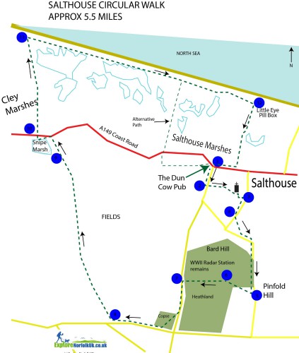
Route Directions
Park around the green at The Dun Cow pub in Salthouse, or along the road. Postcode NR25 7XA. There are usually places to park unless you turn up at lunch time, in which case it may be very busy.
1. With your back to the sea, and The Dun Cow on your right, head away from the coast along the small lane called Purdy Street, with houses either side.
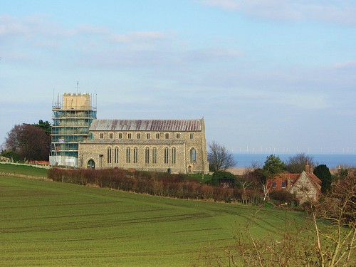
2. Continue along here for a short distance, passing Catriona Court on your right and look out for a trails sign on the right-hand side pointing left, to take you through a small narrow gap between two flintstone walls. Follow this path until you come out at the magnificent Salthouse church with wonderful views over towards the sea. Walk down the right-hand side of the church and follow the Church drive/track out to another small B road.
3. Turn right onto this road and continue up the slight incline, heading out of the village.
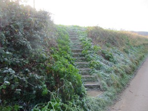
4. Walk past the last house (on the left) and look out for some steps going onto the high roadside bank on the left-hand side. Follow the diagonal path through the field and walk out through the hedge. This joins Bloomstile Lane. Turn left here and follow it all the way up to the top of Pinfold Hill. Lovely views if you look behind you.
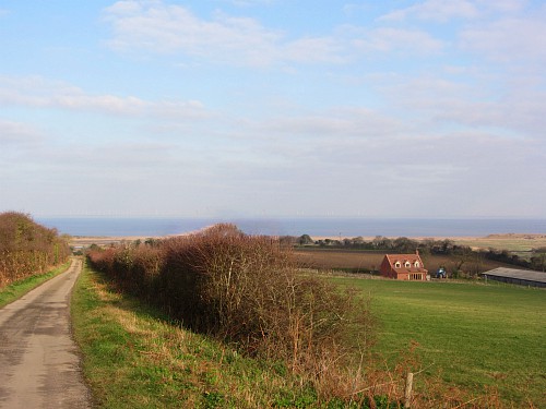
5. Once up at the top, keep a close look out for a track on your right and a sign pointing right. Once on the track you’ll immediately see a finger post. Turn right and follow this sign through the gorse.
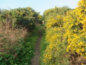
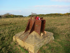
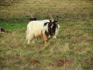
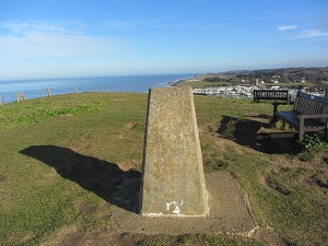
6. Continue on straight along the well trodden path until you reach Bard Hill, where you'll see the remains of a WWII Radar Station. This is a fenced area that you are allowed to wander around. You can enter the gate and take a closer look at the remains. Continue in the direction you were going, maybe spotting grazing goats, and head towards a small car park.
7. Once out of the car park, turn left and walk along this lane for a short distance until you see a sign taking you through a small copse. (If you happen to miss it, just continue until you reach the crossroads and turn right). Walk through the copse following the obvious track until you come out onto a tarmac lane. Turn right and continue to a T junction.
8. Just before the T junction, turn right into the field and walk along the side all the way to the top. Once at the top you can admire the amazing view across the North Norfolk coastline.
9. Follow this path all the way down to a little copse where you take the left-hand path which brings you out onto the main A149 and Snipes Marshe. (The right hand footpath takes you back to Salthouse close to the road so you could take this if you want a shorter walk).
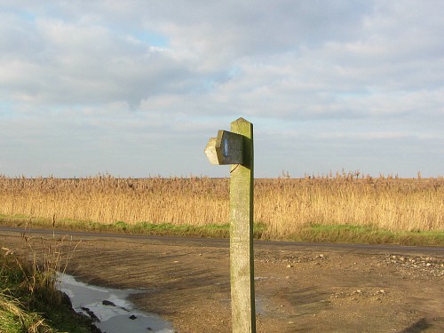
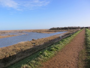
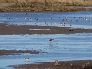
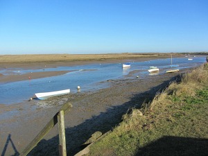
10. Turn left on the A149 and walk the short distance to the sea wall on the right. Continue along here until you reach the sea. You may like to stop at the free hide about three-quarters of the way along this sea wall. The views and wildlife should be excellent. This is part of the Norfolk Wildlife Cley Marshes Nature Reserve.
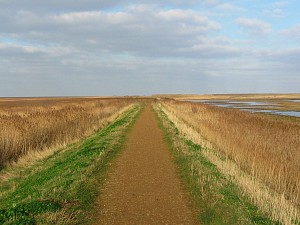
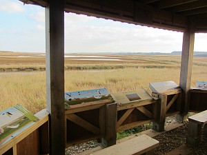
11. Turn right to walk either landward on the shingle meaning you get a good view of the wildlife, or, if the tide is out, you may like to walk along the hard sand on the beach. If you’re walking on the beach side, continue until you see lots of posts sticking out from the top of the stone dunes. This is where you need to walk up and over to reach the track to take you back to Salthouse. If you are walking landward, look out for the ruin of the pill box on a grassy bank as this is as far as you need to go.
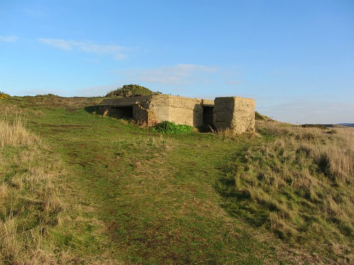
12. Just before this pill box, look right and you’ll see a grassy track heading inland towards Salthouse. Take this, and arrive back into the village.
I hope you enjoy this Salthouse circular walk!
- Explore Norfolk
- Coastal And Inland Walks
- Salthouse Circular Walk


