Norfolk Coast Path Blog Day 5
Cromer to Mundesley
8 miles
Today was a walk into the unknown as this next stretch of the Norfolk Coast Path is new to 2015 and forms part of the England Coast Path. It also means that I didn’t have any information on this walk as the guide book obviously doesn’t go his far! I did however manage to download a short description of the walk and a map from National Trails.
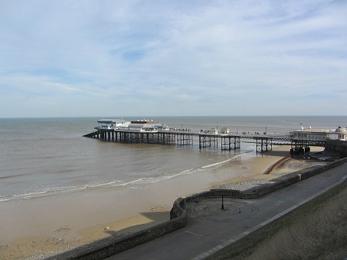
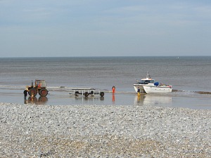
I started off from the bustling pier at Cromer and headed along past the RNLI station and the Henry Blogg Museum, watching the fishermen pulling in their boats from their morning’s catch and marvelled at the new beach huts which had been rebuilt after the tidal surge in December 2013.
The cliffs however hadn’t been quite so fortunate. The erosion along this Norfolk coast is unbelievable and as I went from Overstrand to Trimingham later in the day, this was very evident.
But before I get to that, I’ll come quickly back to Cromer. I made my way from here to Overstrand on the beach. It was a beautiful morning walking along the hard sand as the tide was going out. There were lots of people just strolling along, many taking their dogs for walks and others just enjoying the beautiful view back towards the Pier (and the warmest day of the year so far!).
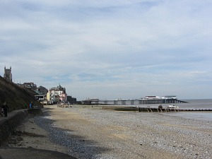
I think in theory the official Norfolk Coast Path goes up into the town near the pier and then comes back down by the beach huts, but to me this just seemed ridiculous and I was going to enjoy the beach rather than the town houses today (and if I’m honest, I must have missed the sign!).
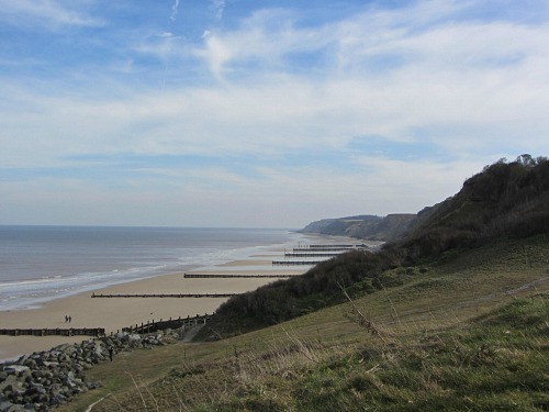
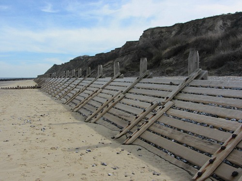
The walk to Overstrand was lovely. Lots to look at on the rugged eroded cliffs, and then I reached the sea defences as I approached the promenade. They were obviously doing their job as there were quite large stones stuck amongst the wood slats which were obviously being prevented from reaching the cliffs.
Once at the end of the promenade I was sad to say goodbye to the beach as I headed up towards the village. It was such an incredibly beautiful view that I was worried whether I was going to be seeing the last of this type of view. I did wonder if I could walk all the way from here to Mundesley on the beach. It is possible, BUT I would not have been able to get up the cliff face at any time, and whilst the tide was out, it would have been OK. If the tide was in, there would be no way I could do this, so it definitely is NOT worth the risk.
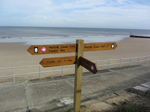
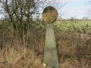
The signs for this new stetch of Norfolk Coast Path are very evident and easy to follow, they pop up everywhere you expect them to be which is great. Just when you wonder where to go next, there’s a sign!
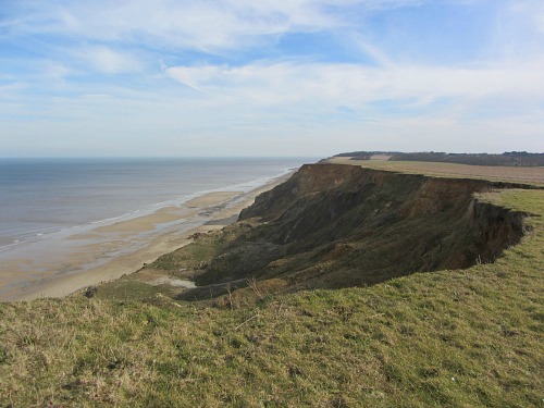
After walking along the roads through Overstrand and Sidestrand (which didn’t take as long as I thought it would), I walked alongside someone’s back yard, as far as I could make out, and up onto the most amazing cliffs with views that I just can’t put into words. This was a part of the walk that lasted for a wonderful hour and I absolutely loved it. The photos don’t do it justice, it really did take your breath away.
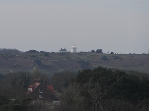
Looking back towards Cromer, I caught a glimpse of the flashing light of Cromer lighthouse in the distance. There's a wonderful circular walk around Cromer lighthouse.
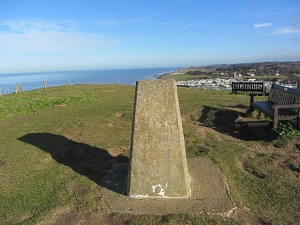
As I walked on the grass covered cliffs from Sidestrand to Trimingham, I got what I was after today – the absolutely beautiful views along this very eroded cliff. I had to keep pinching myself. It was obvious to see where the erosion of the fields had taken place, where ploughed fields had had to change course. It was a little bit windy, but I just had to stop here and have lunch, as for me it was some of the most rugged coastal scenery that I had seen in Norfolk.
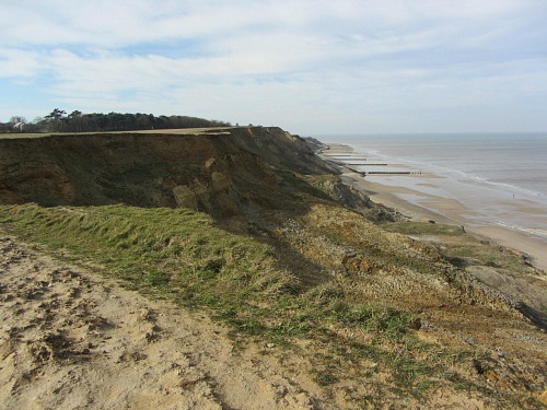
I didn’t dare walk too close to the edge, and had quite a scare when a lady and her Jack Russell dog came from behind. The dog wasn’t too sure about me (must have been the woolley hat!) and did do a few jumps back every now and again, I was petrified this poor little dog was going to fall back over the cliff. I quickly let her pass as I couldn’t bare anything to happen!
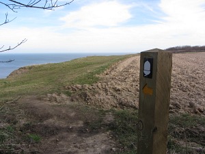
After a couple of tiny little coppices that I had to go through, I left the cliffs and headed towards the village of Trimingham and more pavement walking.
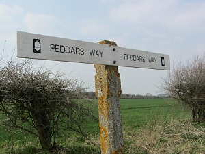
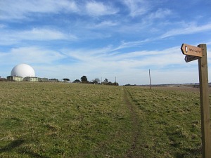
But I was glad that it didn’t last long, as I was taken along the edge of a field that reminded me in parts of the Peddars Way with its wooded tracks and fields. I passed the rather extraordinary looking RAF Trimingham radar station, but could see Mundesley in the distance, the days final finishing point. Always exciting, and I could see the sea from here which always makes me feel happy.
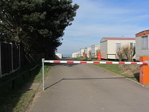
But then my worst fear again, I was back through yet more static caravans! Argh! Never mind. I did however wonder if I was going the right way and whether I should be walking through this site and through a red and white barrier, but I kept going until I eventually saw ahead of me the good and trusty National Trails post with its yellow arrow. A bit bizarre in the middle of a caravan site, but at least I knew I was on the right track!
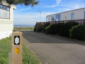
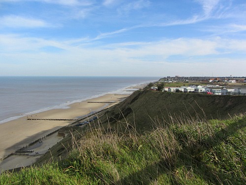
Although I was still walking along past the caravans, I was back on the cliffs, looking out to the calm sea and a very long stretch of beach below. I suppose I could have walked along the beach at this point and gone all the way to Mundesley, (as there was a tarmac road heading down that way) but decided to follow the Norfolk Coast Path.
It took me in, out and around the back of houses, finally ending at the Maritime Museum overlooking the sea.
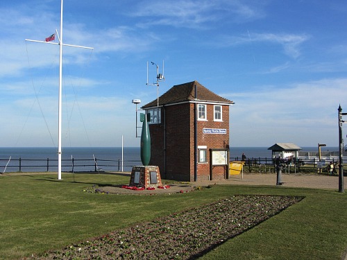
This was a fantastic walk and surpassed all my expectations today. How fantastic that this is now part of the Norfolk Coast Path. Love it.
Day 1 Hunstanton to Brancaster Staithe
Day 2 Brancaster Staithe to Wells-next-the-Sea
Day 3 Wells-next-the-Sea to Cley
Day 4 Cley to Cromer
Day 5 Cromer to Mundesley
Day 6 Mundesley to Sea Palling
Day 7 Sea Palling to Caister
Day 8 Caister to Hopton


