- Explore Norfolk
- Coastal And Inland Walks
- Cromer Lighthouse Circular Walk
Cromer Lighthouse Circular Walk
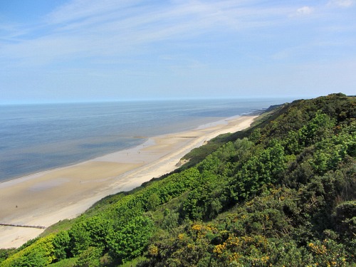
The Cromer Lighthouse circular walk is a fantastic beach, cliff and heathland walk on the North Norfolk Coast with breath-taking views over this beautiful part of Norfolk.
The Norfolk Coast Path used to end at Cromer, but with extensions added in 2014 and 2016, it now comes to an end on the Norfolk/Suffolk border at Hopton-on-Sea. However, this route I take you along is part of The Paston Way which is a continuous route, (taking in sixteen churches and their towns, including Overstrand) but this Cromer Lighthouse circular walk also takes in a small part of the Norfolk Coast Path as well.
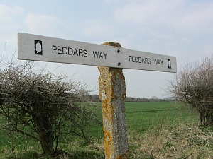
If you'd like to know how you can enjoy a walking holiday along the Norfolk Coast Path, or the Peddars Way, please click here.
However, before you delve into the directions for the walk, you may like to take a look at these two Norfolk Walking Books below which will give you a whole variety of walks in Norfolk.
Norfolk Walking Books
- The 16 Coastal Dog Walks book is very dog friendly, as I wanted to discover walks that didn't require much road walking or time on leads. They are all around the Norfolk Coast.
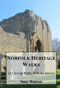
- The Norfolk Heritage Walks book contains 18 walks with an interest. The walks are dotted all around Norfolk depending on where there is something fascinating to visit, be it a priory ruin or castle ruin, a stately home, windpumps or lighthouses and more.
Cromer Lighthouse Circular Walk
Length: 4.7 mile circular walk
Ease of Walk: Easy, apart from 236 steps from beach to cliff top
What you’ll see: beaches, woodland, heathland, lighthouse, golf course
OS Map: Explorer 252
PDF Booklet: You can download this walk in pdf format here
Video: See a video of the walk here
Accommodation: See the list of places to stay and eat here
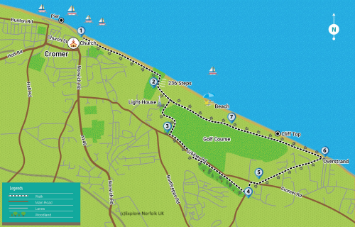
Route Directions
This walk starts at The Red Lion pub overlooking the promenade and Pier in Cromer.
You can also watch a video of the walk here.
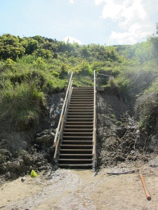
Head down the steps immediately in front of the Red Lion and walk down to the promenade. Turn right and walk all the way along, passing the beach huts and onto the beach. Continue along the beach until you see the steps up into the cliffs (0.8 miles from Red Lion). Walk up the 236 steps to the top of the cliff.
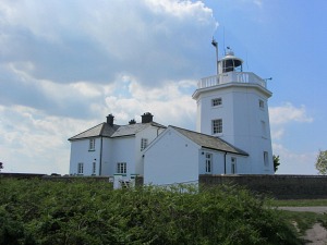
And if you stop and admire the view every so often, it won’t seem so bad. It’s also really well worth the climb to see the fantastic view from the top and to see Cromer Lighthouse greet you.
An alternative start, avoiding the steps, is to follow the Norfolk Coast Path signs from the boat ramp to the right of the Red Lion by The Rocket House Museum. Turn right up the slight incline and turn left in front of a stone wall. Follow the NCP sign until it takes you down to the beach – don’t go down to the beach though, continue up along the path towards the lighthouse.
And if you time it right, you may even catch the air rescue helicopter in a practice session.
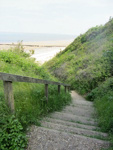
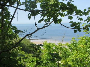

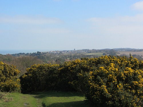
Once at the top of the steps you break out of the trees and into wide open heathland. Just take a few moments to admire the incredible scenery. Apart from Sheringham Park, this has to be one of the best views in Norfolk.
Next, turn left on the well-trodden path up to the brow of the hill, then bear right towards Cromer lighthouse. There are a couple of benches dotted around where you can rest your legs again (!) and take in the wonderful view towards Cromer.
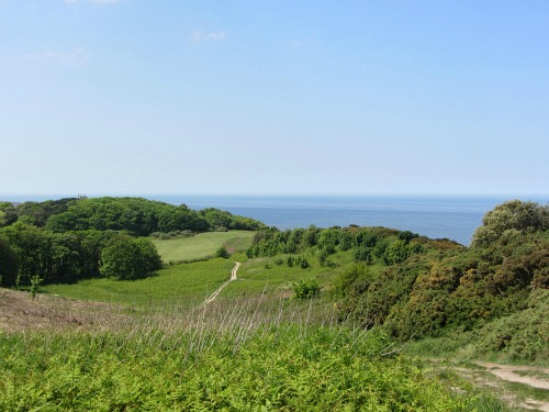 The view from a bench at Cromer Lighthouse!
At this point you can either head towards Overstrand along the cliffs for the shorter walk, or continue along my route which makes it a 3 mile walk.
Once you reach the lighthouse, continue along the tarmac road on the left hand side of the lighthouse, bearing left and heading through parts of Cromer golf course, walk past the club house and onto the main B1159.
Turn left out of the golf club onto the main road. Continue along this road until you reach the brow of the hill. Notice when the pavement on the far side of the road stops (at brow of hill). Just after this, you’ll notice a small opening in the hedge on the opposite side of the road to you. Cross over and walk through the opening and here you join the old disused railway. Turn left and follow the path.
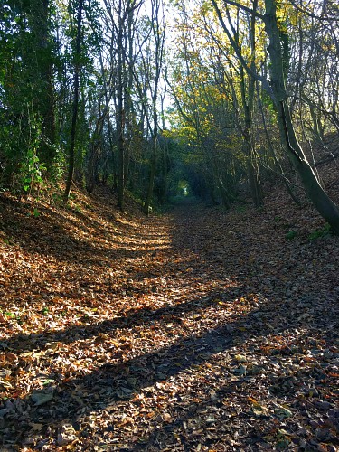
Continue along here until the path ends and opens up into a meadow. Walk straight ahead to the gate and tarmac lane. Turn left and walk towards the main B1159.
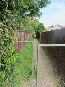
Cross over this road and walk right, passing the church on your left. Just after the church look out for a small narrow path between fences which eventually joins a small road called Paul’s Lane. Go straight ahead here and follow the road, passing houses on both sides, and once you reach a long flint stone wall you’ll notice a car park on your left. This is a 3 mile marker.
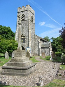
This is a good meeting point, as is the Cliff Top Café which is just a little bit further along the road on the right, for home cooked food, or even a cream tea!
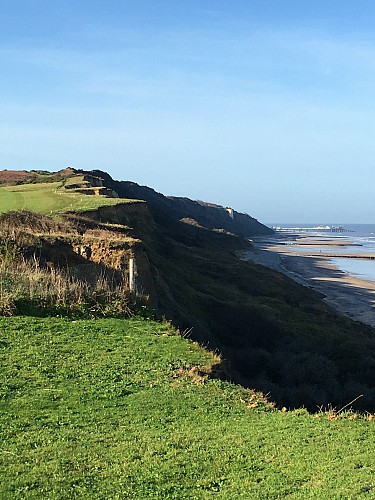 The clifftop walk from Overstrand back to Cromer
From the car park you can either walk to the right corner and down to the beach and walk back via the beach, or you can follow the cliff top walk (wonderful views) from the left hand corner of the car park. Head through the gate and follow the path all the way back to Cromer walking alongside the golf course and back through the heathland around Cromer Lighthouse. You will eventually reach the steps again, but it you’d rather not go down the steps, continue in the direction of Cromer along the well-trodden path back to the Red Lion.
Accommodation suggestions in and around Cromer
mYminiBreak North Norfolk Camping and Glamping
Places to eat in Cromer
Rocky Bottoms, West Runton
Marmalade's Bistro, Cromer
Other Coastal Walks
For more coastal walks:
Holme Dunes
Stiffkey to Wells Harbour
Cley Marshes
Cromer Lighthouse Circular Walk
Cromer to the Roman Camp circular walk
Horsey Windpump
Norfolk Walking Books
- The 16 Coastal Dog Walks book is very dog friendly, as I wanted to discover walks that didn't require much road walking or time on leads. They are all around the Norfolk Coast.
- The Norfolk Heritage Walks book contains 18 walks with an interest. The walks are dotted all around Norfolk depending on where there is something fascinating to visit, be it a priory ruin or castle ruin, a stately home, windpumps or lighthouses and more.


